Mapping & Measurement
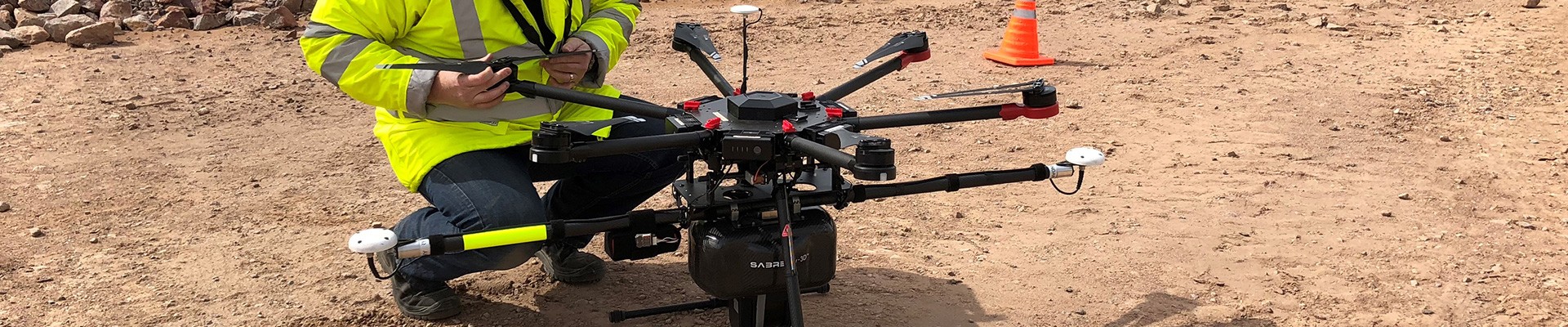
Aerial mapping services are now safe, pinpoint accurate, cost effective and faster than when the traditional use of manned aircraft is employed. SELECT VISUALS can supply many applications which will be tailored to your mapping and measurement requirements We offer photogrammetry and LiDAR for 2D and 3D mapping; volumetric analysis for stockpile and applications for crop analysis. SELECT VISUALS can significantly reduce the time spent collecting, processing and delivering the data required by our clients.
Because of the very nature of many raw materials such as coal, rocks and iron ore, it is very challenging to determine the exact amount of resources present in a specified area. Not knowing how much is in a stockpile of material can be detrimental to your business and having a survey team on the ground performing measurements can also be costly and often inaccurate.
Aerial imagery from an Unmanned Aircraft System (UAS) captures measurements faster, more accurately and more cost effectively than traditional means. Using technology like orthomosaics, contour lines and point cloud surveys, mosaic images can be amassed, 3D models can be created and volumetric calculations can be produced.
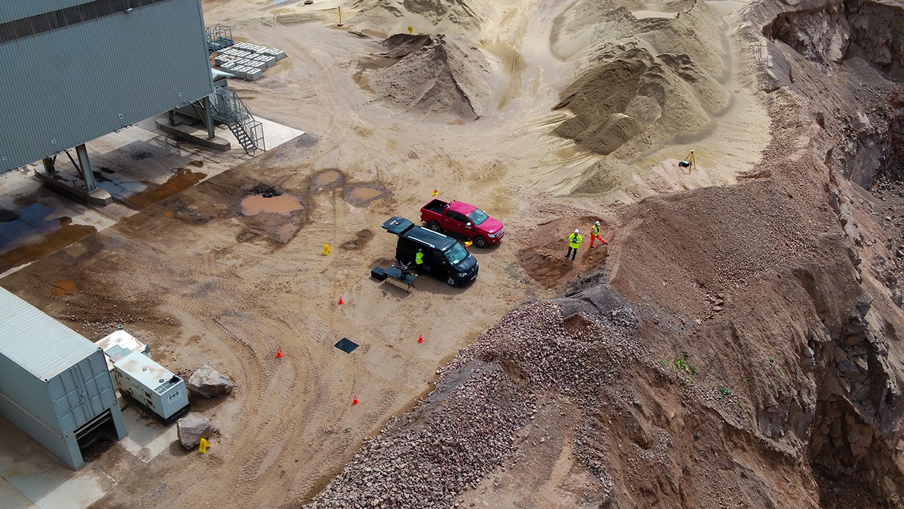
 Photograph of area to be calculated.
Photograph of area to be calculated.
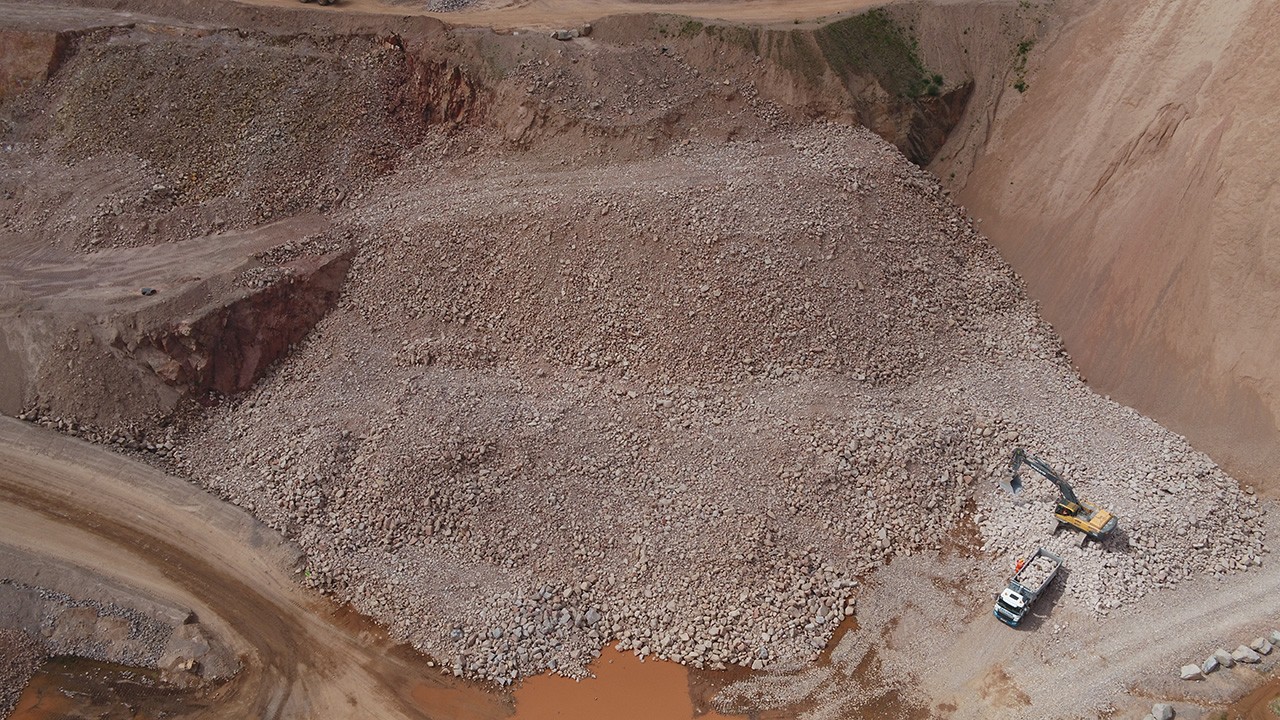
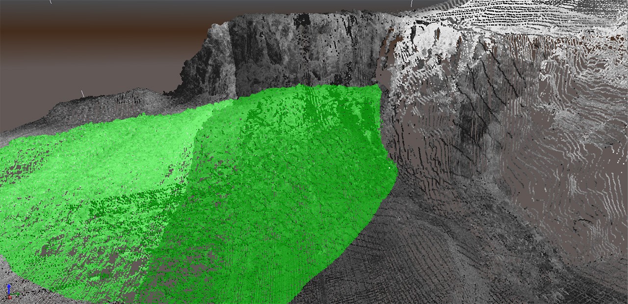 LiDAR image with the volumetric calculation completed.
LiDAR image with the volumetric calculation completed.
Quay Expansion Project
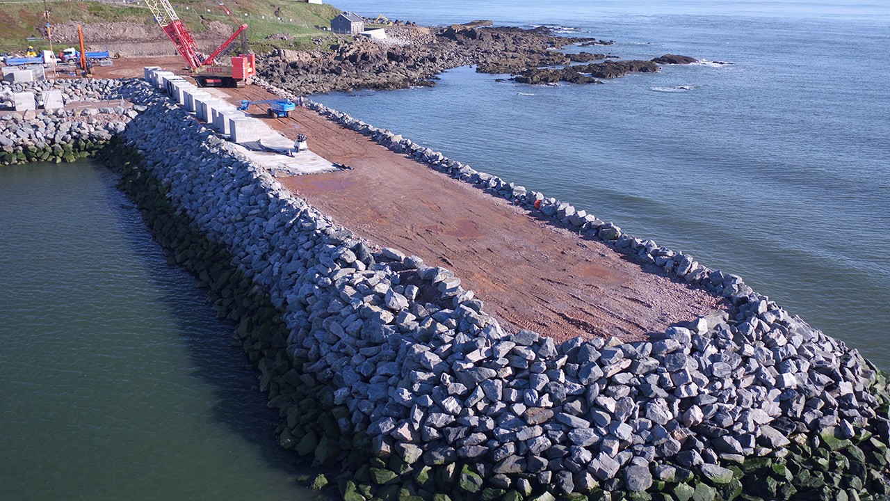 Over View Image.
Over View Image.
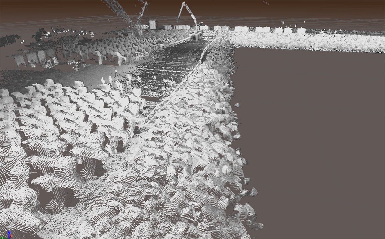 LiDAR Point Cloud.
LiDAR Point Cloud.
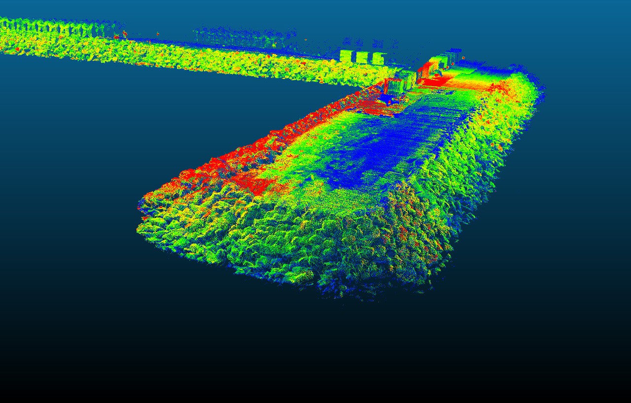 Colourisation.
Colourisation.
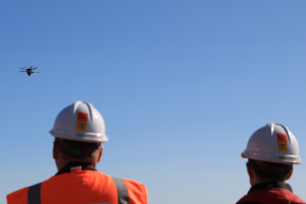 Airborne System.
Airborne System.
Agriculture
Precision agriculture refers to the way farmers manage crops to ensure efficiency of inputs such as water and fertilizer, and to maximize productivity, quality, and yield. The term also involves minimizing pests, unwanted flooding, and disease.
Drones allow farmers to constantly monitor crop and livestock conditions by air to quickly find problems that would not become apparent in ground-level spot checks.
Drones allow farmers to constantly monitor crop and livestock conditions by air to quickly find problems that would not become apparent in ground-level spot checks.
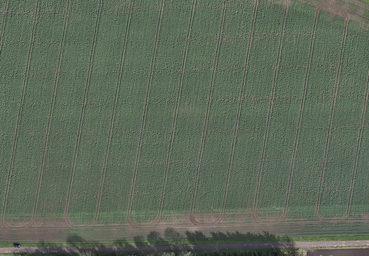 Orthomosaic.
Orthomosaic.
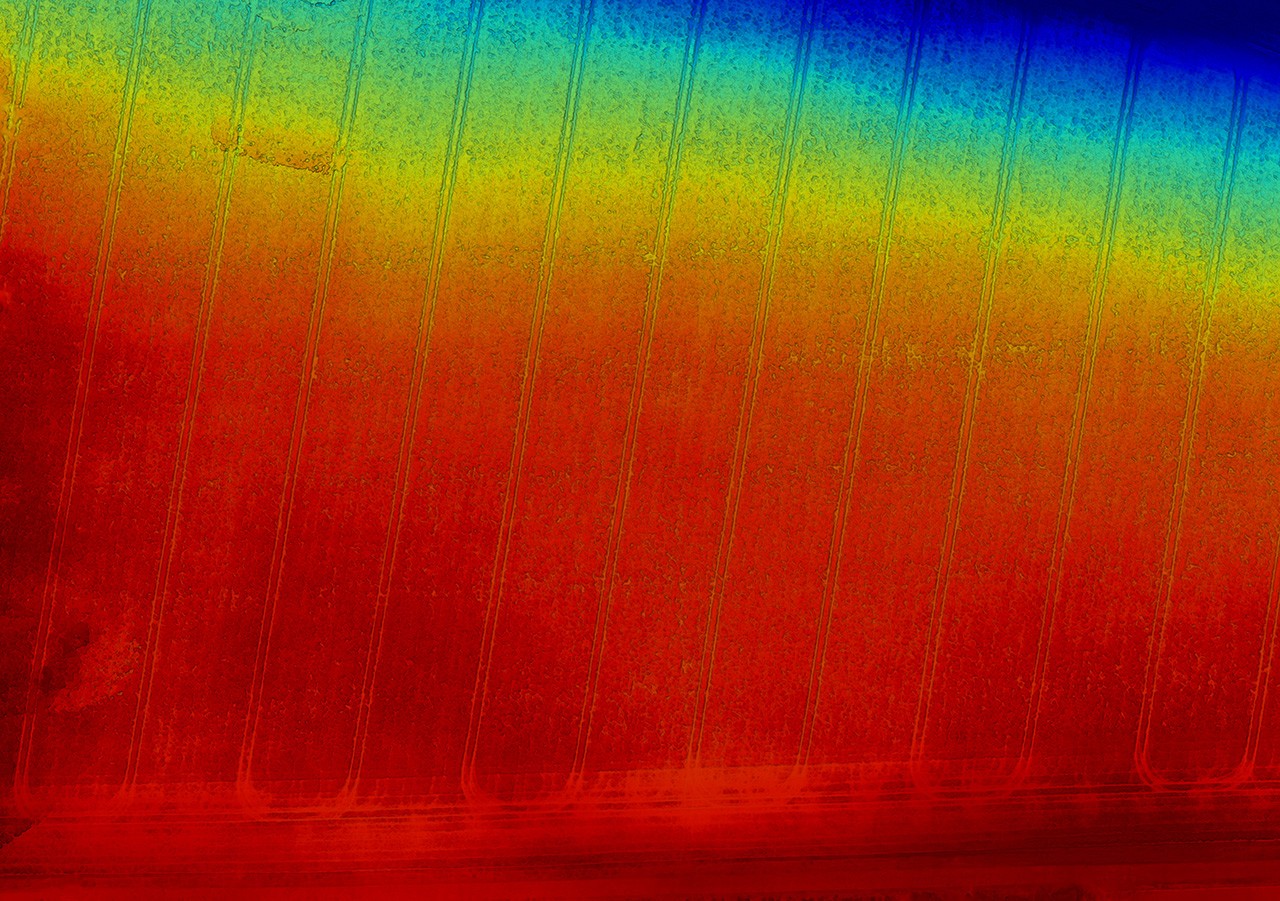
 Plant Health.
Plant Health.
For example, a farmer might find through time-lapse drone photography that part of his or her crop is not being properly irrigated.
The process of using a drone to map or survey crops is a relatively straightforward one. Many newer agricultural drone models come equipped with flight planning software that allows the user to draw around the area he or she needs to cover.
The process of using a drone to map or survey crops is a relatively straightforward one. Many newer agricultural drone models come equipped with flight planning software that allows the user to draw around the area he or she needs to cover.
Then, the software makes an automated flight path and even prepares the camera shots.
As the drone flies, it automatically takes pictures using onboard sensors and the built-in camera, and uses GPS to determine when to take each shot.
As the drone flies, it automatically takes pictures using onboard sensors and the built-in camera, and uses GPS to determine when to take each shot.
 Elevation.
Elevation.